Monday 17 September 2018

Sandhamn - Burgstaaken, Germany (17 September 2018)


Although misty initialĺy, Tuesday 4 September turned into another lovely sunny day. We rose early and slipped our mooring at 0740. We headed S to the foot of this part of the E coast and after about 90 minutes turned on to a W course sailing most of the 40nm to the island of Hano. We visited this small island last year and spent some time walking round it. By the time we approached the harbour the wind had gone giving a very still scene.
Approaching the harbour
The unspoilt and natural harbour itself also looked great.
Small fishing boats in the harbour
We had a walk around and visited the small quaint museum of island life. It was a quiet afternoon and evening, now that there are no holidaymakers visiting the island.
Our next journey was just 20nm W to the town of Ahus.
Not the prettiest approach to a town!
Ahus has a busy dock area, sand and grain being unloaded from a Dutch and  another coaster as we entered the river that runs through the town.
Main riverbank, the Absolut distillery complex in the distance
The town's main claim to fame is that it is the home of the Absolut Vodka distillery, now a brand owned by Pernod Rikard.
These trailers seem to take product between the various sites
Sculpture outside Absolut HQ in town centre
The town centre had some nice traditional buildings as well as modern additions. There were quite a few restaurants but also no fewer than four Pizzaeras within about 400 metres!
Historic house, rebuilt in 18th century

Attractive town centre street
Next morning we sailed 34nm S, on what was an overcast day, to the fishing village of Skillinge. There were signs that industry had been lost here but there still seemed to be plenty of housing.
Main road with harbour in background 
We had been noticing numerous general election posters (in foreground) in many places, also kiosks in town centres with party canvassers. The evening that we were in Skillinge the Centrist Party bus arrived. They certainly take canvassing seriously, perhaps because it's proportional representation, so there are many parties and no safe seats only ever won by the same party.
Attractive old house
Having walked along the coast we noticed what appeared to be ancient trees on the shore.
Ancient trees submerged under the sea?
As elsewhere we saw birds, particularly geese, beginning to head S as the seasons change.
The geese are heading for the pasture!
There was quite a lot of new homes but we also noticed this windmill.
Converted windmill
Friday morning was also overcast. We had planned a longer passage, to Gistovs Lage, on the SW corner of the S coast. We had a F4 E wind, later becoming SE and we were able to sail for 8.5 hours and covered 46nm. It was a challenge at times as the wind tended to be right behind us, never the easiest sailing. Arriving at Gistovs Lage just before 5 o'clock, we found an attractive harbour with history.
Local fishing fleet alongside

Historical boats afloat by the small museum
One reason for stopping here was to visit the commercial and ferry port of Trelleborg, just a couple of miles away.
During the evening the wind increased and by the next morning our decision to stay looked good.
Blustery morning view towards Trelleborg
Trelleborg is a major ferry port with regular sailings to Sassnitz, Rostock and Travelmunde in Germany. Apparently it was at its most prosperous in the Middle Ages when there was much trade with Germany. The town has some older buildings but there must have been many additions and changes in the twentieth century. Even so the town centre with wide cobbled streets is attractive and the Commune has also sited sculptures and maintained an attractive town centre garden.
Sculptures in the garden

Chickens roaming free (peacocks too)

Sculpture with water feature
During the morning we saw the reconstruction of the Viking from around 980AD, then in the afternoon we visited the small maritime museum. It focused on Trelleborg's trade through the ferry port and activities in the six fishing ports on the surrounding coast including Gistovs Lage.
The museum typical of older buildings


Of particular note was some early 35mm film, perhaps from the 1950's or 1960's showing the fishermen hauling huge quantities of fish in their nets; then also seeing them shovelling back sizeable quantities of presumably below size fish, almost certainly dead. So like around our own coasts overfishing has largely contributed to the collapse of stocks.
Early colour photograph of Gislovs Lage harbour
That evening required decisions to be made on our route back to Fehmarn. Our aim was to be there by Friday evening to prepare for Monday's lift out. The bad news was that the wind was now forecast to come from SW or S, which was where we were heading. Also Tuesday and possibly Wednesday might be gales so "no sail" days. The original and most direct route was to go to Klintholm (40+nm) on the large Mons island in Denmark, then to Gedser on Falster (32+nm) and from there to Fehmarn (32+nm) or nearby. But this might be hard work against the wind. An alternative would be to go roughly due W to Praesto in Denmark (42nm), then following a shallow, narrow channel that we have used before to Stubbekobing on Falster (32nm) and from there to Gedser (32nm). This was therefore longer but more protected but with the disadvantage that there could be a problem with the shallow channel if there was very low pressure and water levels dropped, which the forecasts said they would. In the event we decided that the longer route might catch us storm bound for one or two days and it would be better to make progress SW.
So on a pleasant but on a grey and windy Sunday at 0640 we cast off and headed towards Klintholm in Denmark.
We had to tack to and fro across the wind and as a result the passage was longer and slower, but the sun did appear. We felt that we couldn't complain too much as we had not had to fight the wind for at least a couple of weeks; in an area where the prevailing wind is SW!
Passing the distinctive Mons Klint near Klintholm
Even so it took us nearly 10 hours to get to Klintholm covering 47nm. Of course we have been here a few times before. Although on a far corner of Mons there is an excellent Italian restaurant. In April on the way north it was midweek so closed. On Sunday evening it was open and we reserved a table. At the end of our excellent meal on what was a busy evening the friendly Danish lady owner said that they had a good summer and talked quite a lot about the challenges of running the restaurant in what is really a village location.
The weather forecast was still focusing on strong winds on Tuesday and possibly into Wednesday morning. So with some regret, for we like Klintholm, we had another early start for Gedser. The pattern repeated itself and despite a forecast that suggested S to start, then SW and then W, the latter failed to materialise.
Lighthouse on the approach to Gedser
Fortunately the wind did slowly fall to F4 during the day but even so it was over 10 hours and 51nm before we reached Gedser at nearly 1700. We have also been here quite a few times. Gedser established itself at the end of the nineteenth century as a ferry port linked with Rostock in Germany. It is Denmark's most southerly location.
The former Custom House (1901), now flats
The ferry port is still busy but the town has struggled economically in the twentieth century including for example the closure of the railway line. To its credit the local authority had a five year regeneration programme with community input and support from around 2010 and that has certainly improved the town. During Tuesday the ferocity of the wind and rain increased, the former reaching 30+kn. In the early evening, with the wind around 30kn, we were treated to a kite surfing display! Young people from one of the boats in the harbour brought out their boards and initially were in front of the foreshore just a little to the S. They were being photographed by others from the boat so was this a publicity shoot? Next the kite surfers were through the harbour entrance and practising their leaps and turns around us!
Coming into the harbour
Lifting off!


The kitse surfers boat behind them

The blade made their surfing almost silent

Getting dark now
In the strong winds it was certainly spectacular as their bladed boards zipped them along.
The next day was also overcast with rain forecast together with very gusty winds. We had plenty of maintenance to do on the boat so on a gloomy day we got on with that. The weather started looking up towards the end of day and we had a beautiful sunset.
Looking like a better day tomorrow
Thursday was much better so we opted to head for Grossenbrode, just S of Fehmarn island. Just as we approached the Lifeboat crossed our bow quite quickly. But it kooked like an exercise.
German Lifeboat crosses in front of us
The wind was brisk initially so we enjoyed sailing, but it quickly diminished. This was good and bad news for it meant that when we got to Grossenbrode our first task was to get the very dry sails down and bagged up ready for the winter.
On Friday we cycled about 18km return to the seaside town of Heileganhafen, a popular seaside town which we have visited by boat more than once. There we had lunch and stocked up at the supermarket.

Enjoyed fish and chips on the edge of the harbour
We slipped our mooring around 1500 and motored just 8 miles to Burgtiefe on Fehmarn Island. This is a resort area and they have a programme of environmental improvements, currently improving the waterfront with new walkways and seating areas. This is typical in Germany, Sweden and Denmark where local authorities and government seem to be commissioning many public works thus keeping economies growing rather than having austerity programmes of cutting public spending.

New promenade area.
From our mooring there we could see Burgstaaken, where we were to be lifted out, just under a mile across the shallow sea.

Burgstaaken, with its prominant mills
For the next couple of days we prepared the boat and on Monday went less than a mile to Burgstaaken where on a warm morning we were lifted out.

Lift out at the end of a great season
Since late April we had sailed 1336 nm and had been on board for 11 weeks over three legs. Andrea and I agreed that our 10 highlights of new places were (S to N): Christianso (Dennark); then in Sweden Utklippan; Kristianopel; Kalmar; Figeholm; Visby; Hasko; Trosa; Vaxholm; and Sandhamn/Lokholmen. Actually in an interesting area and a great yesr for weather we could hsve picked many more places. Lets hope for good sailing weather again next year.


Tuesday 4 September 2018

Visby, Gotland - Sandhamn (Blekinge) (3 September 2018)

We left Visby under an overcast sky on the morning of Tuesday 28 August. The wind was forecast to be W or SW so rather than heading back towards Sweden's E coast and fighting that wind, we opted to go 22nm S down Gotland's coast. The forecast for Wednesday was more favourable taking account that rather than heading SW we would be heading due W towards Oland.
In addition there was an opportunity to see another piece of Gotland's history.
The harbour at Klintehamn is not the most attractive as it is mainly commercial with a grain silo and a large forestry and timber operation.

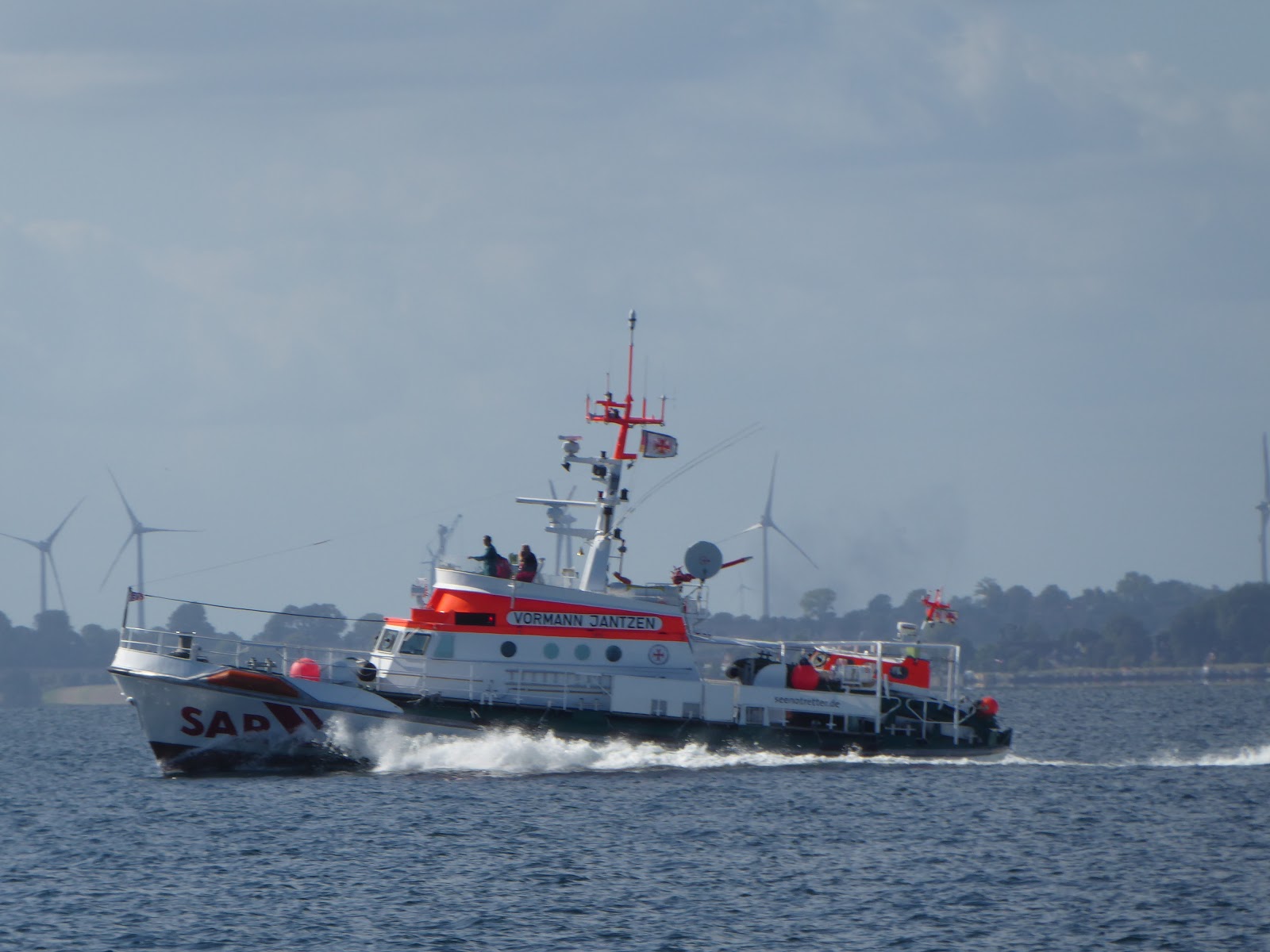
The harbour, the silos are much further away than they look!
There are only a few spaces for leisure craft. But in some ways that makes it more interesting.
In the afternoon we cycled to Gannarve where, in a field, there is a late bronze age ship grave, one of around 350 that have survived on Gotland.
Ship grave, cremated remains were buried in pots within them 
More interest on the way back.
Old wooden windmill on farm
Traditional Gotland sheep
More story telling headstones, this time 16th century
Next day we set off early at 0640 as we had a long passage.
A delightful morning as the sun came up
The forecast was for the ideal S winds which would help us as we had to go due W. We got them but unfortunately with very little strength, F2, which meant motoring. During the first six hours we saw just two other vessels, both medium size freighters crossing behind us in the main shipping lanes.
We were heading to the island of Oland and we crossed the N tip In early afternoon. A little while later, after 44nm, we reached the harbour of Byxelkrok on the W coast. Oland is long and narrow, about 120km long and at the most 12km wide. It also claims a unique landscape with a limestone bedrock.
We walked around 3km N from Byxelkrok along the coast to the Neptuni Nature Reserve. This is an extensive shingle field.
Viking grave field
Walking on the stony beach area were amazed how many fossils there were.

The horizontal layers of rock and shale
Fossils abound in the slabs, this one just below the surface
Taken as a whole the landscape looked pretty desolate!
On Thursday morning we had a visitor for breakfast. A brave young sparrow perched on the edge of the cockpit and then helped himself to some titbits put on a fender waiting to be stowed.
Muesli made a tasty breakfast!
We then continued SW down the coast and with a SSE F3/4 were able to sail most of the way to Sandvik. This area is known as the stone coast and has quite a few holiday homes and despite the village name very little sand! It's heritage is stone quarrying and exporting.
Industrial history
The last ship left with its load of stone 60 years ago so now it is a leisure area. Oland is also popular for cycling and as with the last port there were many cycles for hire outside the HM's office.
Bikes outside HM office, harbour in background 
One other claim is that of having a windmill which was built in 1856 and is said to be as tall as a seven storey building and with sail spans of 24 metres.
Windmill, one of the largest in northern Europe
Overnight a front arrived with strong winds and heavy rain. We waited until after 1100 when the wind and rain had started to ease. The good news was that it was a N wind so we were able to sail downwind, much more comfortable than the reverse.
Sailing is not all sunshine!
By late afternoon we were approaching Kalmar with the high bridge that connects Oland to the mainland.
Rain has stopped but still a threatening sky
It was after 1900 when we arrived at Morbylanga after some 39nm having sailed nearly all the way. As we entered the quiet harbour a locally born resident came off his boat and cycled around the harbour to give us a hand tying up. He enjoyed chatting about the history of the town and inside the HM office, to which he had a key, showed me some great old photos including his grandfather who had been the HM!
The harbour, Whileaway in the middle distance
The weather was still drab with persistent rain the next morning. However we walked around the attractive town centre.
Traditional houses
Town square

In the afternoon we cycled nearly 20km through the drizzle to see two areas of interest. Firstly the Stora Alvaret landscape which covers a significant part of the South of Oland. Another UNESCO World Heritage Site it is a limestone plain with a thin layer of soil and with the extreme climate there are unique flora and fauna.
A glimpse of the Stora Alvaret
On such a damp day we perhaps didn't see it at its most attractive.
Then on to Barby borg, an ancient fortification from around 400-500AD, one edge being on a natural steep scarp, near the islands highest point of only 57m above sea level. On the trip we saw half a dozen of the 400 or so windmills on the island.
Historic windmill and water pump
So Oland has considerable history and friendly and welcoming people.
Sunday dawned much more brightly. We set off with blue skies and light NE winds. We did manage to sail slowly for a couple of hours and eventually found the narrow channel and arrived in Bergkvara just before noon. By early afternoon the temperature had reached 20C and the pressure climbed to 1028. We went for a walk around the rather spread out village but apart from some historic houses found little of note.
Historic houses
What we did see were some American cars, Swedes seem very fond of these.
Smart American car

Not so smart old Volvos!
Back on the boat we watched a beautiful traditional sailing dinghy come past us in the harbour in the almost still late afternoon.
Just gliding past
Then swifts started swooping across the harbour for flies at one stage using our boom for a rest. Then sparrows turned up again and this time helped themselves to apple within a couple of feet of us.
Tea time for sparrows
Next morning we headed S again, this time our passage was 23nm to Sandhamn. This is the second Sandhamn of our trip, this one being in the County of Blekinge, on the S tip of the main E coast. Picking our way through the rocks along the entrance channel we noticed the lighthouse with a few houses on its own island.
Seems like the houses are now holiday apartments
Sandhamn harbour has an industrial feel although there are leisure facilities.
Still a small fishing fleet in Sandhamn
About two miles away, towards the adjoining village of Torhamn, you can follow a small road to the end of the peninsula where there is is a nature reserve. This is well maintained with cattle and sheep grazing the natural landscape right down to the waters edge. Apart from fauna and flora the reserve is known for its numerous species of birds, many of them calling in on migration in spring and autumn.
Some of the landscape was similar to that on Oland
Plenty of bird life, but big telephoto lens required!


At six o'clock on a weekday evening there were more than a dozen bird watchers with their high power cameras and binoculars surveying the shore. On a beautiful evening it was good to see so much bird life.
Now we have reached the bottom of Sweden's main E coast we will head W and S towards the S coast and then on to Denmark.